16th-20th Century Maps of Africa
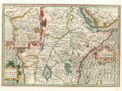 Northwestern University has scanned and uploaded a collection of 113 maps of Africa, dating from 1530 to 1915. The map collection is a part of the university’s Herskovitz Library, named after the scholar who founded the African Studies program at the university. BBC News coverage. Via GeoCarta.

Comments
blog comments powered by Disqus