International Polar Year Maps
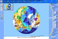 The Canadian International Polar Year Internet Map Server maps the research stations, projects and other information associated with the the International Polar Year. The map interface takes a bit of time to load; the data are available as separate downloads. Via Science Library Pad.

Comments
blog comments powered by Disqus