Nautical Charts in Google Earth
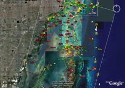 The data for NOAA’s nautical charts is free and available for download, but not necessarily usable in your software application. EarthNC has taken more than 600 NOAA charts and converted them into something Google Earth can use. They’re selling them on CD for $50. Via Google Earth Blog.

Comments
blog comments powered by Disqus