Maps of Paris, 1716-1887
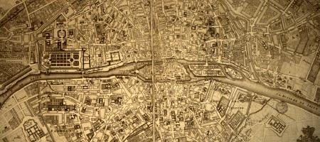
A collection of maps of Paris for an art history course, scanned from slides (so they could be a little sharper; 8-bit only). The maps date from 1716 to 1887. Via Plep.
A collection of maps of Paris for an art history course, scanned from slides (so they could be a little sharper; 8-bit only). The maps date from 1716 to 1887. Via Plep.

The Map Room is a blog about maps by Jonathan Crowe, covering everything from collecting to the latest in geospatial technology.
It returned in January 2016 after a four-year hiatus.
Comments
blog comments powered by Disqus