Quadrocopter: DIY Aerial Photography
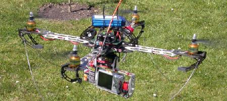
Fed up with waiting for aerial photography for your area to show up in online maps? Take your own with a quadrocopter! The Universal Aerial Video Platform is an open-source project from Germany, Austria and Switzerland. Via MAKE: Blog and Engadget.

Comments
blog comments powered by Disqus