Maps of Vienna
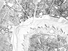 Maps of Vienna from the city’s government. The city’s architectural, archeological, artistic and cultural history is presented through a map-based interface (which unfortunately does not work in Safari). Clicking on points of interest brings up incredibly detailed information: the map is a front-end to a massive cadastral database. The city also has a collection of maps of the city dating from 1547 to 1830. Via MapHist.

Comments
blog comments powered by Disqus