Oceandots
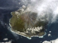 Oceandots is a collection of NASA satellite and astronaut imagery of the world’s islands and atolls — and not just the tiny, isolated ones like Pitcairn, Clipperton or Tristan da Cunha, either, though they’re certainly well represented and are what you’ll find if you click on the Southern or Atlantic Ocean sections. Excellent as an image resource, with hooks into several mapping platforms. Via Catholicgauze.

Comments
blog comments powered by Disqus