Britain from Above
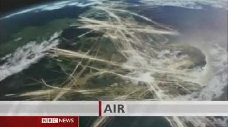
Considerable buzz about an upcoming BBC series, Britain from Above. This preview (screen capture above; I wish I could have embedded the video here, it’s pretty good) uses GPS traceroutes to show sea, road and air traffic; it also shows telephone network usage (thanks, Neil). The first episode airs Sunday on BBC One and Two. Via MAKE: Blog.
Update: A brief note in the Telegraph (via Mapperz).

Comments
blog comments powered by Disqus