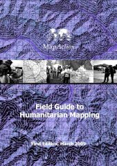
Field Guide to Humanitarian Mapping
 The need for accurate and up-to-date maps during a natural disaster or other humanitarian crisis is obvious. Teaching humanitarian aid workers how to make use of maps and mapping software is the idea behind the Field Guide to Humanitarian Mapping, a 118-page PDF document published by MapAction, an NGO that specializes in mapping for emergencies and disasters. Via Free Geography Tools, where Leszek argues that it’s “a terrific introduction to both data acquisition using a GPS, and how to use Google Earth and the free open-source Windows GIS program MapWindow for mapping” — indeed, it may be useful beyond its intended audience. (MapWindow’s home page, by the way.)

Comments
blog comments powered by Disqus