A New Map of Standardized Terrestrial Ecosystems
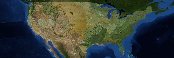
The USGS has released a map of the lower 48 United States showing its “standardized” terrestrial ecosystems. An interactive version is online here. The methodology behind the map is discussed in this article. From the press release:
Featuring higher resolution, this new map shows the distribution of 419 meso-scale (tens to thousands of hectares) ecosystems, each one with multiple “patch” occurrences. Previous ecosystem maps for the nation depicted 40-60 macro-scale (thousands to tens of thousands of hectares) ecological regions.
The ecosystem data used to create the map included separate data layers for vegetation regions, climate regions, landforms, geology, and surface moisture. These data input layers, representing the major structural elements of ecosystems, were then geospatially combined to produce the standardized ecosystems dataset and map.
Via MAPS-L.

Comments
blog comments powered by Disqus