ESA Satellite Imagery of Port-au-Prince
The European Space Agency says that new satellite maps of Port-au-Prince are being produced.
Data are being collected by various satellites including Japan’s ALOS, CNES’s Spot-5, the U.S.’s WorldView and QuickBird, Canada’s RADARSAT-2, China’s HJ-1-A/B and ESA’s ERS-2 and Envisat.
These data are being processed into maps that show the degree of destruction. As soon as new data arrives, updated maps will be produced and made available to the international community.
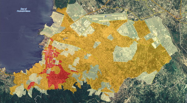
So far, we have this early map showing the location of public buildings and this map evaluating building damage by city block (above).
Previously: Mapping the Destruction in Port-au-Prince; Mapping the Haitian Earthquake.

Comments
blog comments powered by Disqus