Martian DTMs
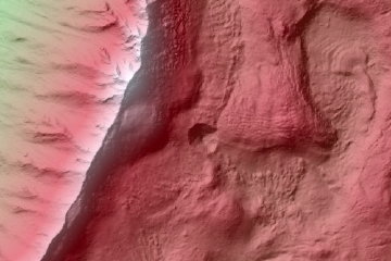 High-resolution digital terrain models (DTMs) of the Martian surface, created from stereo images taken by the HiRISE camera aboard the Mars Reconnaissance Orbiter. The upshot is an extremely detailed topographic/terrain map of the Martian surface — think the Terrain layer in Mars in Google Earth. More information here. Via HiRISE.

Comments
blog comments powered by Disqus