North Carolina Maps Update
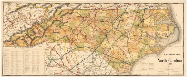
An update on North Carolina Maps, which I first told you about in August 2008: according to this University of North Carolina Libraries item, the site’s collection now exceeds 3,200 maps: “Visitors to the North Carolina Maps site can see the results of a three-year collaborative project to identify and scan nearly every original map of the state published from 1584 to 1923. The collection also contains maps of every North Carolina county and maps published by the state through the year 2000.” (Above: Railroad Map of North Carolina, 1900.) Via All Points Blog.

Comments
blog comments powered by Disqus