The Times Atlas of Britain
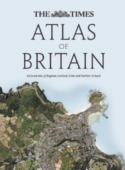 The Collins Maps blog announces the forthcoming release of The Times Atlas of Britain, which, they say, “includes fully up-to-date reference maps, statistics, geographical information, images and historical mapping to give an exceptionally detailed view of every county in England, Wales, Scotland and Northern Ireland.” Sample images at the link. Due in September.
- Buy The Times Atlas of Britain at Amazon.com

Comments
blog comments powered by Disqus